During the week dad promised that this weekend was going to be our weekend and he did not disappoint.
Yesterday, Saturday, we headed west to a lovely part of Cumbria known as Ennerdale where we had loads of paddles and a fantastic walk up onto the fells.
Ennerdale is one of those areas hidden away from the tourist and off the usual honeypot trail. This leaves it calm, quiet and relaxing for the locals and dedicated outdoor visitor to enjoy.
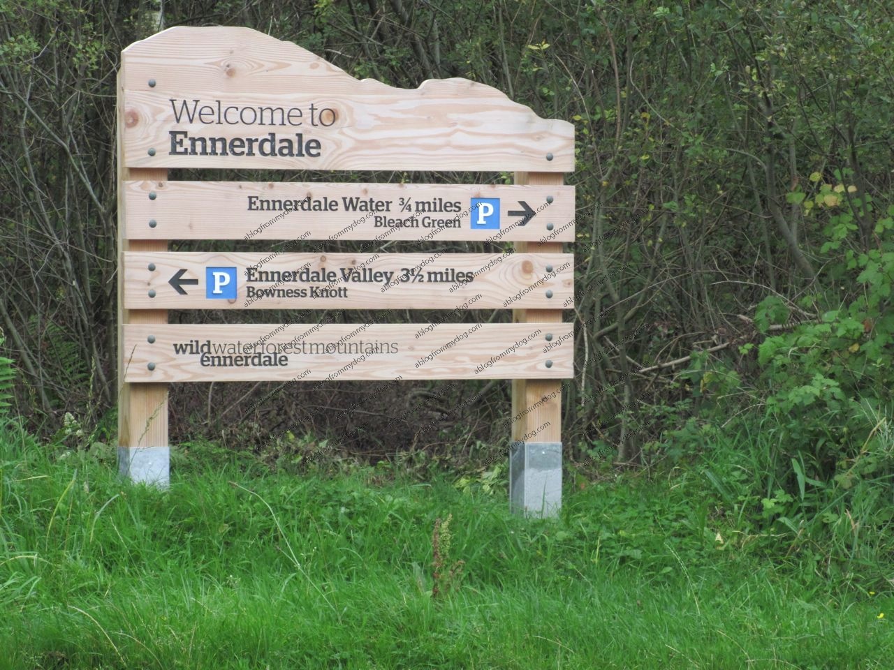
Over the past few years, quite a bit of money has been spent returning the area to silence and tranquility. Evidence of some of this investment could be seen in the new signboards erected as we approached the area.
Remote
You could say Ennerdale is remote. It is not served directly by public transport and the nearest rail station is almost 10 miles away. You will also not find any public toilets in the valley.
We last visited Ennerdale in 2009 and we parked in the Bowness Knott area. This time we thought we would try the Bleach Green starting point, NY 085154.
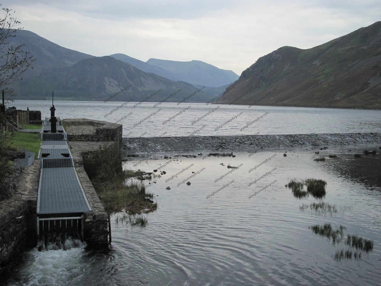
Leading away from the car park was a well drained flat path, ideal for assisted wheelchairs and buggies. With the sound of running water filling the air we knew today was going to be fun and as we entered into the open space of the valley, after about 5 minutes walk we were not disappointed, just look at that view.
Just a quick note at this point – This is about as far as a wheelchair can go, but the view is worth it. We would suggest that all-terrain child buggies could turn left at this point and follow the path over the bridge. A circular walk is not possible for a buggy but you can go quite a few miles before you will need to retrace your steps back to the car park.
Our path headed off to the right and straight for the water.
Cool clear water
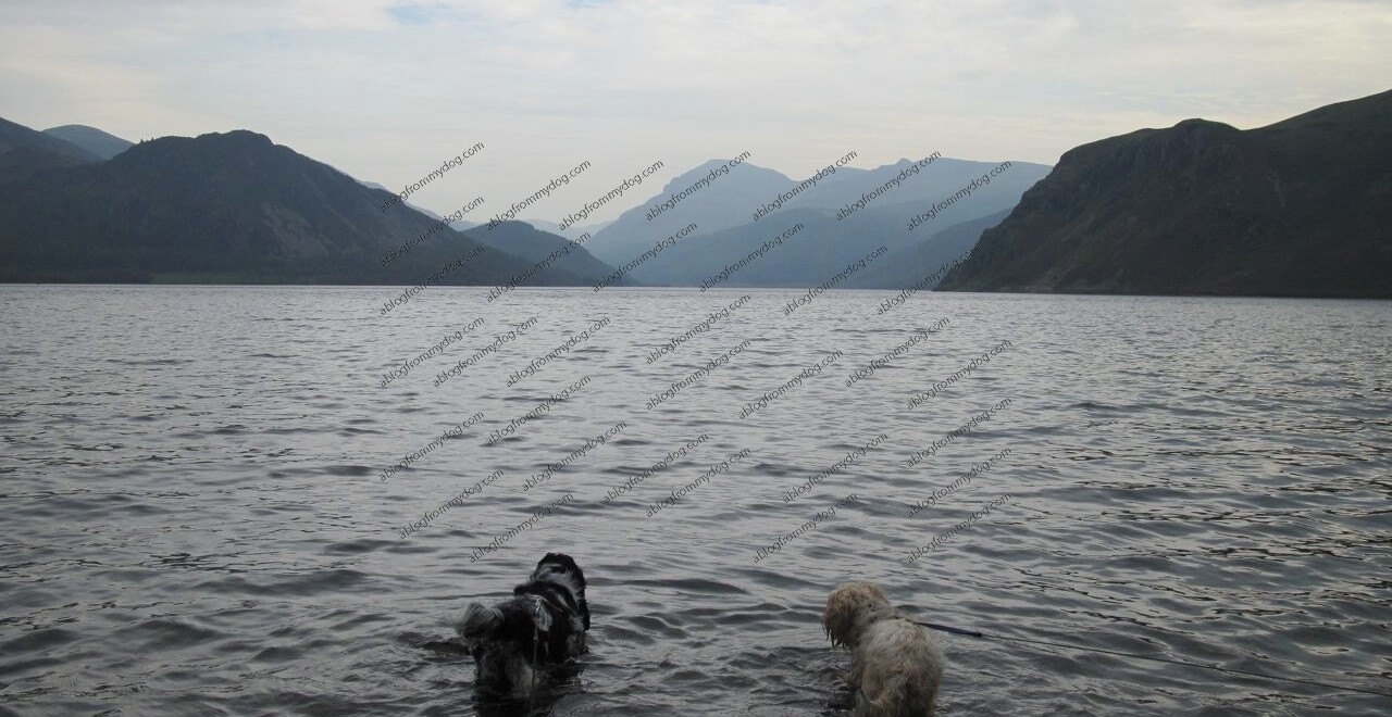
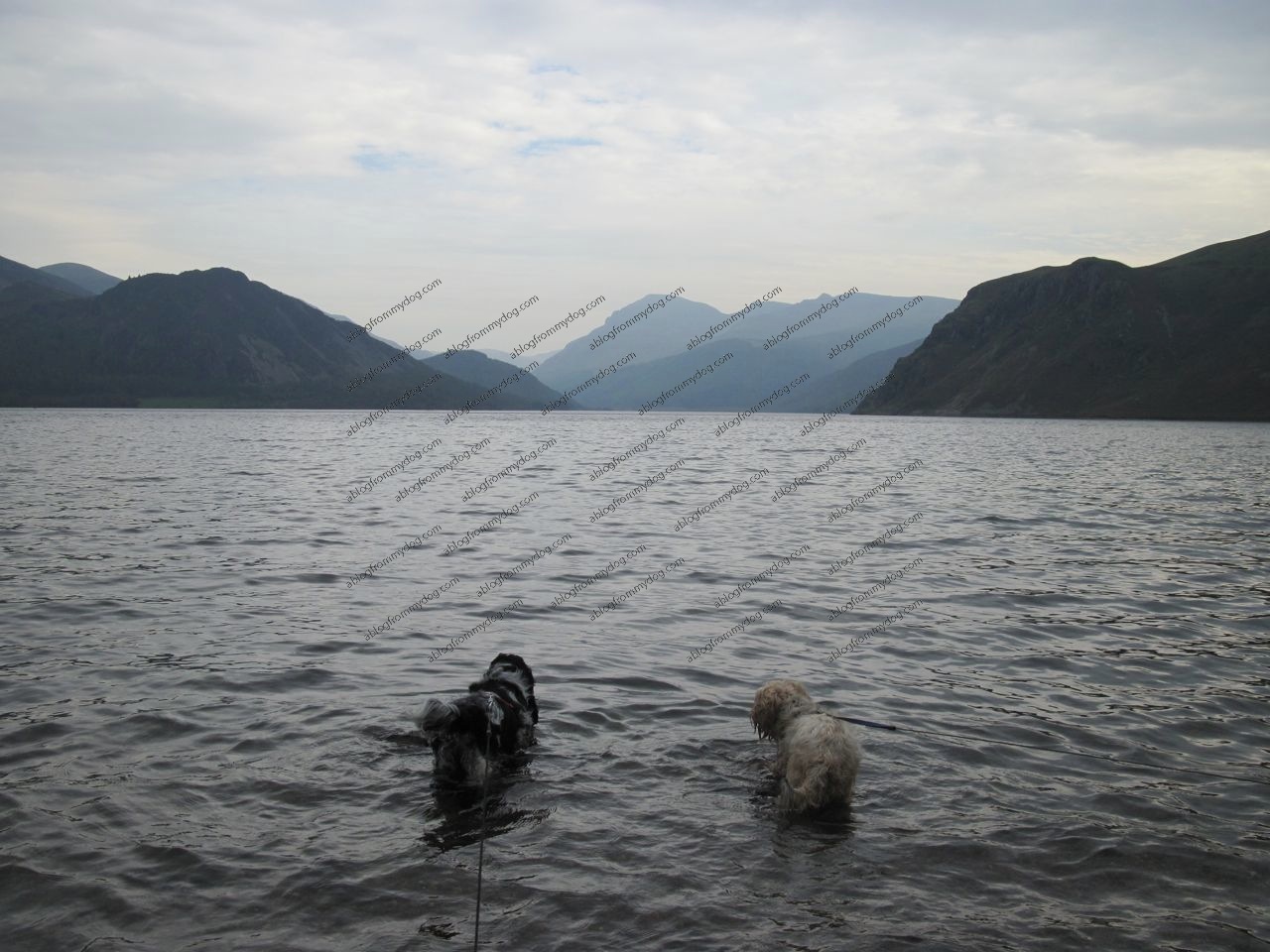
The cool water was soon lapping around our tummies cooling us off as we looked towards the mountains at the other end of the big pond.
Research done on the web before we left for the day indicated that we could walk all the way around Ennerdale Water, so this was going to be our challenge.
With the water to our left we started to follow the path through the gate, past the National Trust Anglers Crag sign and onwards up the valley.
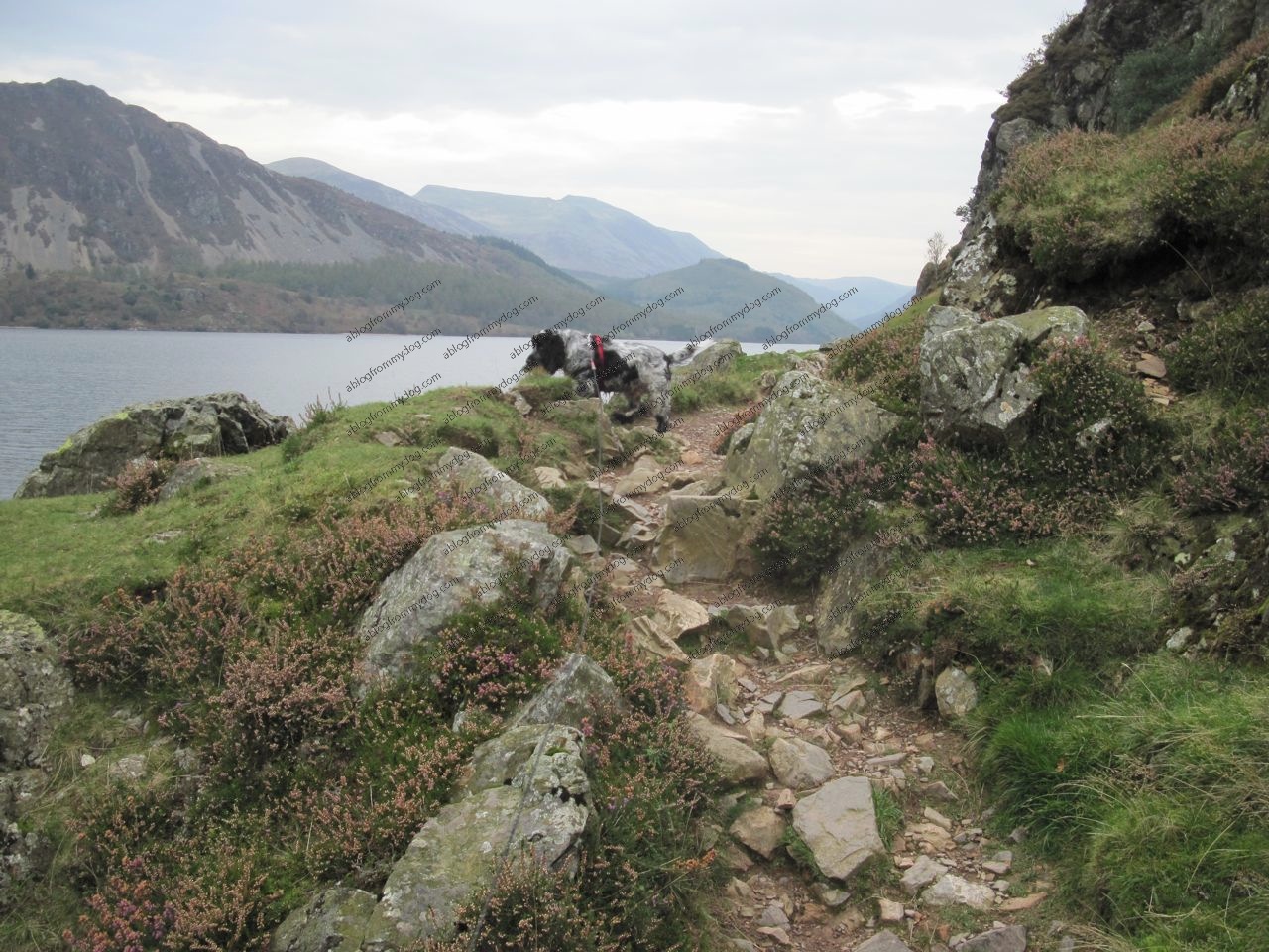
To our right, the tall stony outcrops of the fells made the walk very dramatic.
The grey stone, punctuated by the occasional purple flower of the heather, helped add to the rugged setting of our walk.
Starting off level to the waters edge our path gently rose upwards over the space of about half a mile until we were confronted by Anglers Crag.
Sadly it was at this point we realised that we could go no further without risk to my dodgy hip.
I am fine on the flat but the increasing gradient and loose path just made the risk a bit too high and I just sat down not wishing to go any further.
Charlie went ahead a little and took a moment to look at the view before we returned back down the crag and a welcome rest.
More path this way…
We are now faced with a bit of a problem. Should we just go back to the car and find somewhere else or head back to the weir and across the bridge to see what the other path would be like.
As it was still quite early in the day, and the rain was holding off, we decided we should continue our adventure and do a bit of research around the big puddle in a clockwise direction.

This path was a lot wider and more level than the previous one. Bright yellow flowering gorse bushes lined the path and in places it looked like it had been strimmed back using quite a powerful machine. As a result we needed to take care that thorns and prickles did not get into our paws or stuck to our tummies.
Ennerdale Water is 2.5 miles long and is owned by United Utilities. It is a nutrient poor water but it is home to the rare Arctic Charr fish. According to the Wild Ennerdale website the water is some of the cleanest in the country, no wonder it tasted good.
Looking over the water
With the water now to our right the path curved around the lower end of Ennerdale Water and seemed, at times a little uninteresting for the humans. Maybe they were getting a bit tired as they seemed to stop at every seat for a rest.
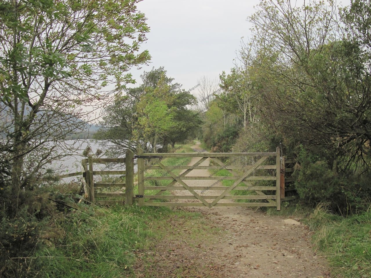
For us the sniffs were fantastic. We could spot where other paws had scurried across the path and down to the water, possibly for a drink or maybe to do some fishing. Above us, the unusual v-shaped formations of geese flew high above squawking their little beaks off and making such a din.
After about 45 minutes we stood opposite the Anglers Crag, the place where we turned around earlier. We could clearly see where the path went up and over then back down to almost water level.
Research done, we headed back towards the car and a welcome rest. maybe next time we would head this way first and see what more we could explore further along this path. But we did feel disappointed that we could not go all the way around as you seem to achieve more, and feel better after a circular path.
Until next time
Buster and Charlie