
Spring has finally arrived and with it a string of two dry days and a bit of sunshine.

With blue sky overhead we decided to venture out and search for a path which we have previously spotted from the new Carlisle bypass, but so far has eluded closer inspection.
Installed as part of the A689 road building scheme all we had to guide our visit was that the path could be seen to the left of a big roundabout road sign to the west of the city.
No other clues were available as the path did not appear to be shown on maps, satellite views or any documentation available on the web.
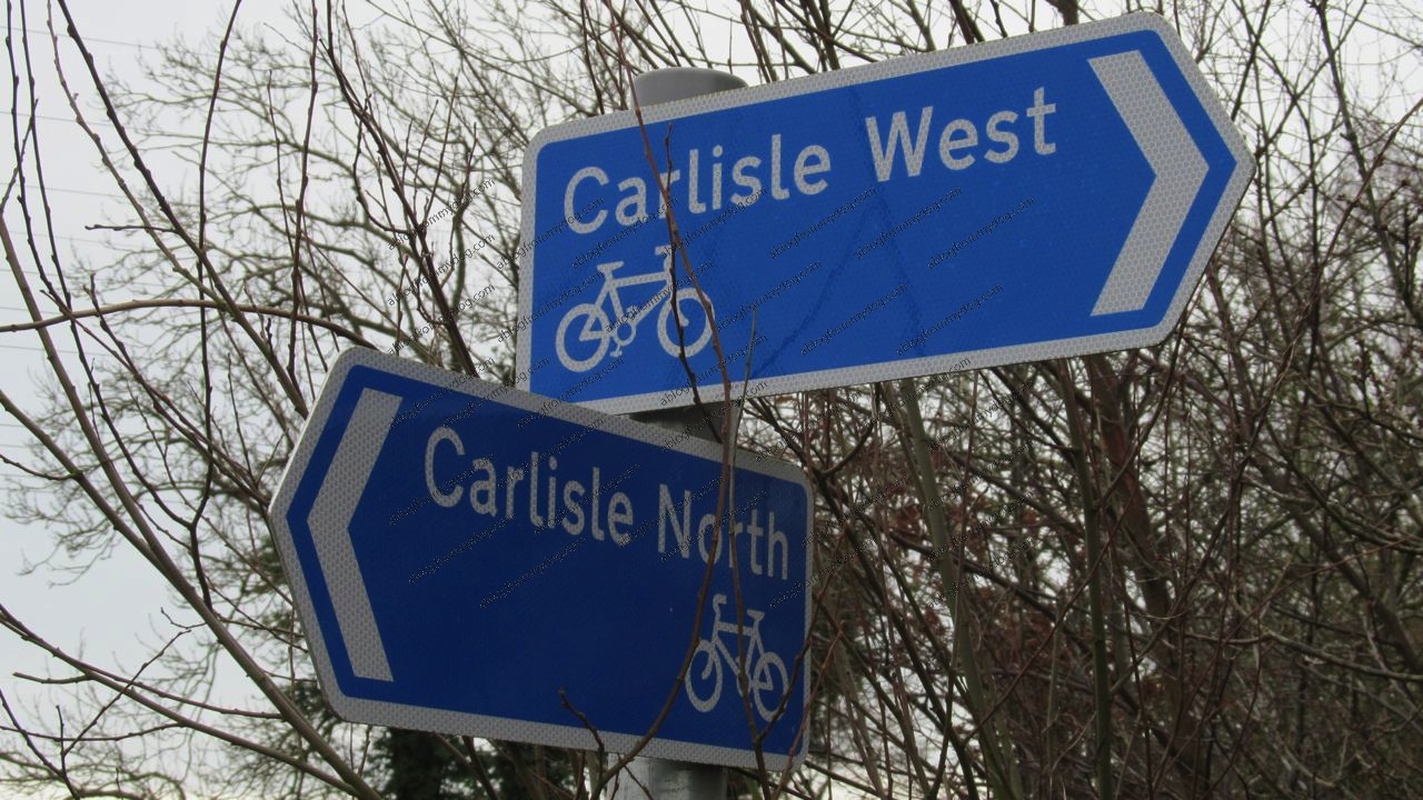
Paws on the ground were to be the only way of solving the mystery and so we headed west and into a housing estate known as Sandsfield Park.
The fun started shortly after we arrived as we almost instantly lost our bearings and started to go around and around in circles.
For a reasonably modern housing estate the layout can only be described as a warren of roads and paths designed it seemed to disorientate and confuse.
Laughing at us
Local knowledge of a line of overhead power cables helped when we got lost. The tall metal pylons, running parallel to the new road, acted as beacons due to them being able to be spotted above the houses.
Exiting the Estate on to Sandsfield Road we turned left and headed along the footpath towards a tree filled with crows appearing to be laughing at us.
After a few hundred metres we came upon a recently constructed metal fence and what turned out to be the start of our elusive path.
Here is a link on link on Google Maps. Interestingly the path only shows on the street view, when you know where to look. The aerial views do not show it for some reason.
Yipee we had found it, and it had only taken two hours of searching.
Carlisle bypass rubbish
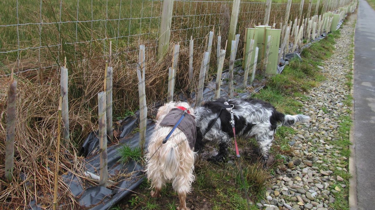
Running alongside a stream, which Charlie was first to get into for a drink and a paddle, the path is ideal for bikes, buggies and mobility scooters as it is of tarmac construction.
To our right was the main road with cars and lorries thundering along. To our left were open fields and hundreds of recently planted trees still wrapped in plastic tubing to protect them from rabbits and other critters.
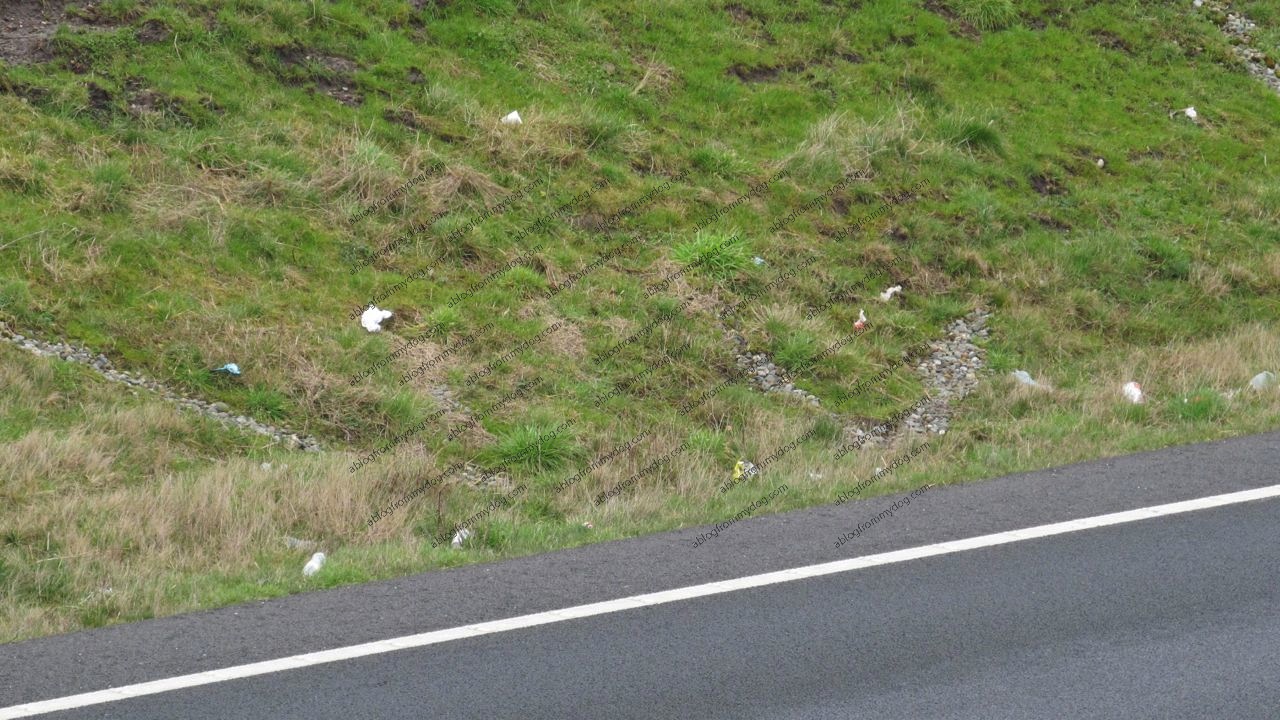
Looking over to the road we were amazed to see the amount of discarded litter that had already appeared strewn from vehicles.
Drinks bottles, crisp packets and food wrappers covered the roadside and made the whole area unsightly.
For safety reasons we stayed on our extending leads, but were able to explore happily.
Round horse stable
Being on foot and travelling slowly gives an opportunity to investigate and observe your surroundings.
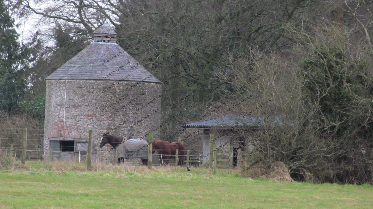
The thousands of motorists travelling along the new road would be unaware of a tall round building hidden off to our right.
The unusual building appears from a distance to be a stable block for horses but we are unsure as to it’s original purpose. Might it have been a dovecote or even a really old icehouse? If you know more about this building then share the history in the comments area below.
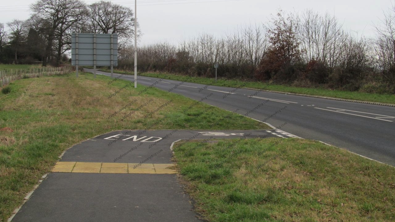
After about a mile our path abruptly ended with a big white painted ‘END’ sign. Our new path, like others we have previously walked along has not been linked to existing infrastructure.
This is such a shame and ruined what could have been a long circular journey.
How can it be in this so called eco-sympathetic world that a new multi-million pound build has vehicles as a priority and not pedestrians or cyclists.

Dumping path users onto a busy road and encouraging them to walk with no protection from fast moving cars is really not acceptable.
Oh well, at least this gave us the opportunity to spot some snowdrops hiding in the hedge.
Until next time
Buster and Charlie